我が国最大のシンドゥリ海岸砂丘で細かい砂を踏んでみよう in 忠清南道 泰安郡 · schedule その他 · distance 30.5km · 3 stops · highlights Duwoong Wetland, Sinduri Beach, Taean Coast National Park

我が国最大の海岸砂丘であるシンドゥリ砂丘は、氷河期以降1万5千年前から形成され現在に至っている。土よりも細かい砂でできた砂丘の丘に登ると、広々としたシンドゥリ海水浴場の青い海が広がっている。我が国で珍しく砂漠のような砂地を体験できる場所である。
このコースは2日間の旅程サンプルです。そのまま保存するか、AI日程に拡張できます。
Duwoong Wetland, located in Sinduri, Wonbuk-myeon, Taean-gun, Chungcheongnam-do, was designated as a wetland protection area in 2002 and registered as a Ramsar Wetland in 2007. A Ramsar Wetland is recognized worldwide for its importance as a wetland and is designated, registered, and protected by the Ramsar Convention. In Duwoong Wetland, a lake formed by sand contains freshwater rather than seawater, and lotus flowers can be seen during the summer.
There is a place with a desert-like atmosphere in Sinduri village, Wonbuk-myeon, Taean-gun, Chungcheongnam-do. When you reach the village, a shabby signpost points the way to Sinduri Beach. If you follow the right at the three-way intersection, you will find Duwunggaejae over Guksabong, and passing through Sumokgol toward the beach, a mirage-like scene appears above the pine forest. The beach has a wide white sand coast made of fine sand, with clear and clean water. The water temperature is warm and the slope is gentle, making it suitable for family vacationers. The sand at the beach is fine sand (gyusa). To the right of the beach is the Sinduri dunes, an ancient dune that began forming gradually after the Ice Age. This area directly faces the northwesterly seasonal winds, where strong winds and waves transport sand to the coast, forming typical sedimentary sand dunes over a long period. It is a good place to visit along with Sinduri Beach.
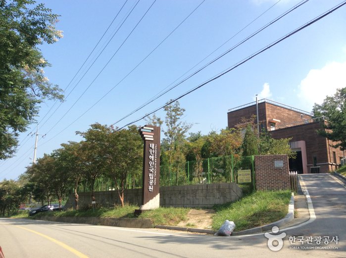
Taean Coast National Park was designated as Korea's 13th national park in 1978. It spans a 230km coastline embracing the Taean Peninsula and Anmyeondo Island, featuring 27 beaches with a total area of 377.019㎢. Historically, due to the absence of major natural disasters, a mild climate, and abundant food, the area was named Taean (泰安). The geology of the park consists mainly of Precambrian metamorphic sedimentary rocks and Mesozoic igneous rocks intruded into them. The coastal zone mostly comprises alluvial layers of neutral to fine sand and silt, forming sandy beaches and coastal dunes. The terrain along the approximately 230km ria coastline from Hakampo to Yeongmok includes mudflats, sand dunes, wetlands, rocky cliffs, and numerous islands. This makes it a representative site of the beautiful landscapes unique to the West Sea. (Source: Taean Coast National Park official website)
コース後に休みやすい宿を集めました
会員登録して自分のチャンネルも一緒に紹介してもらう
(会員になると、マイページで設定した Instagram・YouTube・ブログのリンクが、あなたのコメントと一緒に表示されます。)
“「弘大近くに滞在して、夜のカフェ巡りをしました。街の夜景も雰囲気も最高でした。」”
ゲストとして投稿したコメントには、SNSリンクやプロフィールカードは表示されません。
この場所についてのちょっとしたコツや感想をシェアしてください。
ゲストとして、気軽にひとことコメントを残すこともできます。
写真の添付はログイン後に利用できます。
まだレビューがありません。最初の感想を投稿してみましょう!